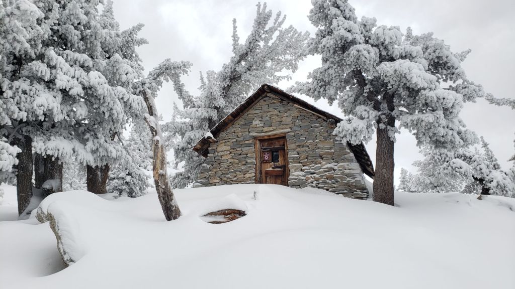
Our 27th storm of winter 2023/24 was no more than a light dusting of snow on the evening of Friday 26th which did not significantly impact tracks and trails. Any new snow had melted within 48 hours. Snow depth was 0.5 inch above 8500 ft all the way to San Jacinto Peak with a dusting down to 6800 ft. Idyllwild recorded 0.13 inch of rain.
Forecasts suggest a possibility of another very minor storm in the early morning of Sunday 5th May. Precipitation amounts are tentatively forecast to be minimal, similar to the storm of 26th April.
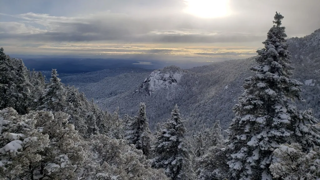
Daily survey hikes in the San Jacinto mountains include various routes to San Jacinto Peak multiple times per week (most recently on 23rd, 27th, and 29th April), Tahquitz Peak and area at least once per week (most recently on 1st May), plus a wide variety of other trails on intervening days.
I surveyed Fuller Ridge (PCT Miles 181.5-191) on the morning of Thursday 18th April and described conditions in a short video report available here on YouTube. Since then further melting has occurred, with trail conditions generally continuing to improve for PCT hikers.
With warm spring or even summer-like temperatures and major springtime melting for most of the past ten days, and with similar weather forecast for the foreseeable future, trail conditions continue to change rapidly.
It is now possible to bareboot all of the established trail routes, including the entire PCT through the San Jacinto mountains. However, that option is recommended only for hikers very comfortable and experienced hiking on icy snow and using especially grippy footwear. For most hikers, given variable conditions at present, carrying spikes remains recommended everywhere above about 7500 ft. Spikes tend to be especially useful for descending, even if rarely required for ascending. Crampons (and ice axe) continue to be required on the north side of Tahquitz Peak as discussed below.
Details of snow depths measured at various locations on the trail system are given at the foot of this posting. Note however that snow depth itself is very rarely indicative of the difficulty (or ease) of hiking a particular track or trail. For example a well-traveled and defined track across deep snow is often much easier hiking than a lightly traveled track across shallow, angled, icy snow.
Black Mountain Road is closed to vehicle traffic due to winter conditions at the gate 1.7 miles up from Highway 243. The new boulder in the road about 0.5 mile above that gate is expected to be removed by mid May. The road is clear of snow as far as the turning to Boulder Basin five miles from the highway. Limited patchy snow cover on the road has largely melted from there for the next three miles to the PCT crossing/Fuller Ridge campground.
South Ridge Road reopened for the season on 23rd April. The upper road is currently suitable only for high clearance AWD/4WD vehicles. Dark Canyon Road has been closed almost continuously for five years, but is expected to reopen in late May 2024. Black Mountain Fire lookout is tentatively scheduled to reopen for the season on 18th May, and Tahquitz Peak Fire lookout on or around 25th May.
WEATHER
Spring temperatures return to the San Jacinto mountains starting 30th April continuing until Sunday 5th May. After a colder day on 5th, temperatures quickly rise near or above seasonal. There is the possibility of minor precipitation overnight on Saturday 4th May, continuing into the morning of Sunday 5th. Impacts on trails are expected to be negligible at this time.
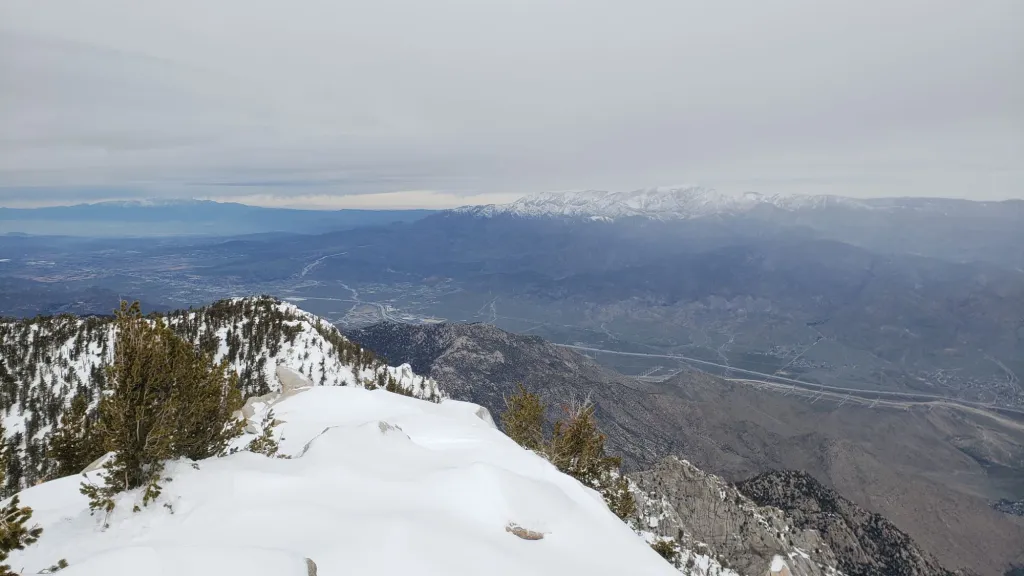
Newly available NWS San Diego data (linked here) indicates that rainfall in Idyllwild is at 77% of average so far this water year. My provisional data indicate snowfall in Idyllwild has been about 85% of seasonal, but well below average (c.70%) at San Jacinto Peak.
At San Jacinto Peak (3295m/10,810ft) on Monday 29th April 2024 at 0800 the air temperature was 40.2°F (5°C), with a windchill temperature of 30.3°F (-1°C), 16% relative humidity, and a light WNW wind sustained at 5 mph gusting to 11.1 mph.
At the Peak on Saturday 27th April 2024 at 0805 the air temperature was 25.8°F (-3°C), with a windchill temperature of 13.4°F (-10°C), 43% relative humidity, and a cool NNE wind sustained at 7 mph gusting to 11.1 mph.
At the Peak on Tuesday 23rd April 2024 at 0735 the air temperature was 37.3°F (3°C), with a windchill temperature of 26.1°F (-3°C), 23% relative humidity, and a steady WSW wind sustained at 12 mph gusting to 16.8 mph.
TRAIL CONDITIONS
Snow quality has deteriorated with generally warmer weather in the past two weeks, with associated rapid melting at all elevations. This trend will continue into May. Tracks have largely consolidated due to freeze-thaw cycles and hiker traffic, and can still be hard and icy in places especially early morning. Icy snow travel requires considerably more caution than soft, postholing snow, but can be much faster and more reliable underfoot for hikers experienced with such conditions.
Carrying spikes remains recommended everywhere above about 7500 ft. Icy compacted snow – following many freeze-thaw cycles and now that most trails have been well-traveled – is largely ideal for spikes. Crampons are essential for the north side of Tahquitz Peak (discussed below) and can be used as an alternative to spikes anywhere on compacted trails above about 9000 ft for the next week or two until bare patches start to become widespread.
Snowshoes are now only valuable away from compacted tracks above about 9000 ft elevation. On very warm days, especially later in the day on sunny slopes, they may become increasingly helpful. They are no longer useful for on-trail travel as the established tracks are firm and compacted.
Trails completely clear of snow include Ernie Maxwell, Spitler Peak, and Cedar Springs.
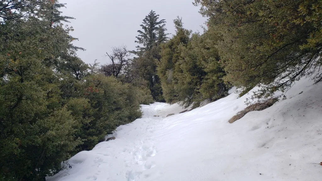
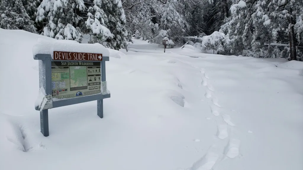
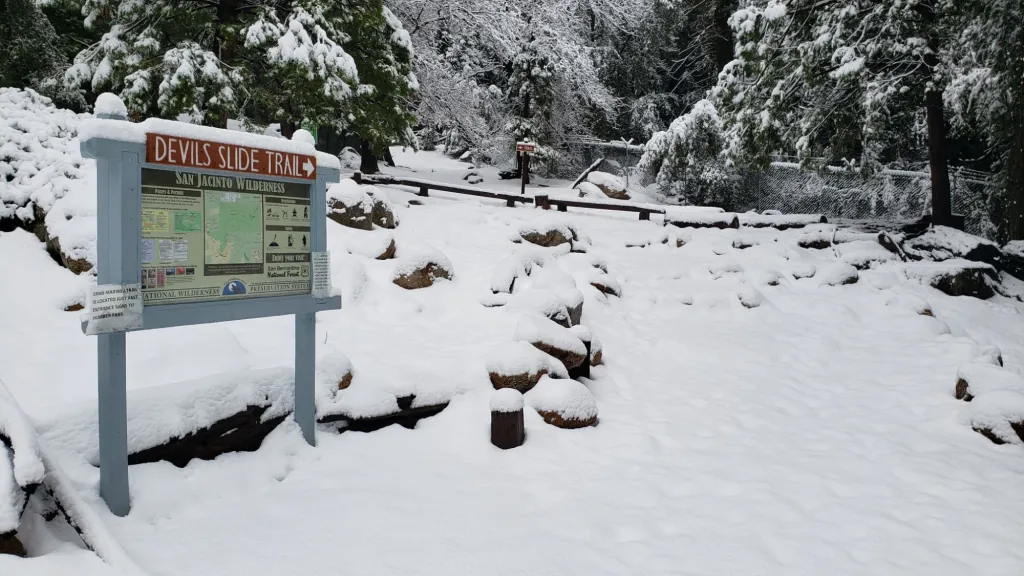
Devil’s Slide Trail is almost clear of snow. The trail is functionally clear below 7700 ft with just a few isolated patches remaining. Some extended icy snow patches remain between 7700 ft and Saddle Junction, especially around 7700-7900 ft where icy conditions remain around switchbacks 6-8. Some hikers may find spikes useful for the snow patches on this trail, especially for descending. The Trail Report has undertaken extensive trail maintenance work since February to remove many tree limbs in and over the trail damaged by storms this winter.
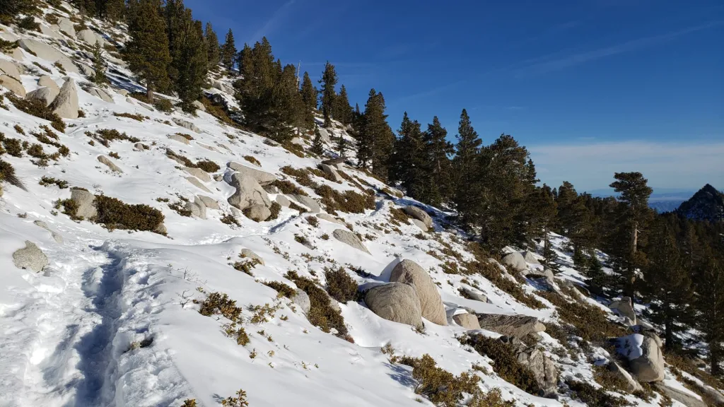
South Ridge Trail is now functionally clear of snow to Tahquitz Peak, with only a few tiny icy drifts remaining on the uppermost switchbacks. Few hikers will find spikes are required. The Trail Report cleared this winter’s accumulated treefall hazards from South Ridge Trail in April and has also undertaken extensive trail trimming in the past month.
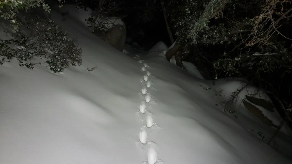
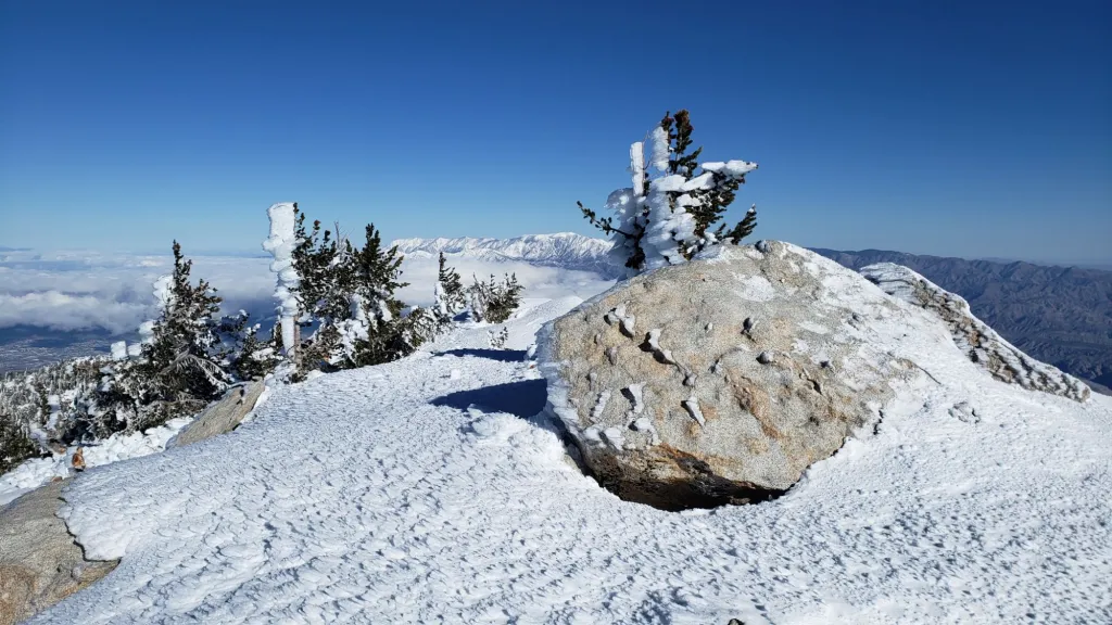
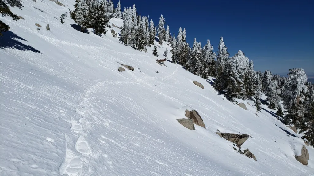
The 0.4 mile section of South Ridge Trail between Chinquapin Flat/PCT MIle 177 and Tahquitz Peak has no track to follow at this time [surveyed most recently on 1st May] through feet of angled ice and icy snow. This ice slope is notoriously treacherous. Neither snowshoes nor spikes are helpful at this time, due to the angled slope and structure of the snow, respectively. Crampons with an ice axe are required on this section at this time, along with the necessary skills and experience to use that equipment in icy, angled terrain with considerable exposure.
The Peak Trail track has been well-traveled and fairly accurately follows the true trail route. However near Miller Peak at about 10,400 ft the track ascends directly up the East Ridge route, rather than following the Peak Trail switchback, as is traditional in winter conditions. Steady melting should make the uppermost Peak Trail route accessible by early May. Wellman Trail is already rapidly clearing of snow, and the track almost entirely follows the true trail route.
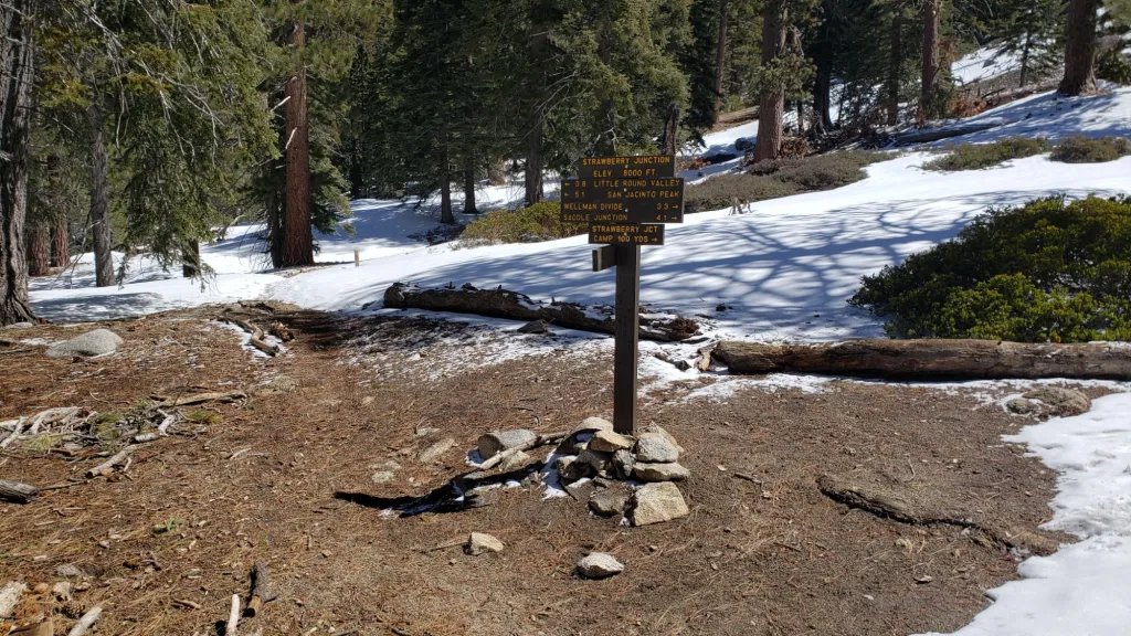
Deer Springs Trail is clear of snow to Strawberry Junction. Above Strawberry Junction snow cover is increasingly sparse to about 8500 ft, close to the top of Marion Mountain Trail. A well-traveled but largely uneven posthole track, that does not accurately follow the trail route in many places, continues through almost continuous snow thereafter. Above the Fuller Ridge Trail junction the track only occasionally follows the trail route, and at times diverges into two or even three options. All of them ultimately get to Little Round Valley however. The tracks largely coalesce through Little Round Valley. From the upper end of Little Round Valley to San Jacinto Peak there are several relatively lightly-traveled posthole tracks that all climb directly up the slope, none approximating the true trail route. Spikes are helpful, especially for descending the upper trail, along with cautious navigation.
Marion Mountain Trail is clear of snow below about 7500 ft elevation. Above that the trail averages only about 30% snow cover but has a surprisingly lightly-traveled and uneven posthole track through the snow patches generally following close to the true trail route. Spikes are useful for descending the upper trail.
Spitler Peak Trail suffered badly during ice storms in early February, and I found 34 new treefall hazards down during my surveys earlier this winter, almost all in the upper half. Most are relatively small and readily passable, but a few are larger, and the combined effect is to make for a slower and scrappier hike.
Despite limited snow this season and being readily passable with the appropriate skills and equipment for angled icy snow (currently crampons plus ice axe recommended), the State Park closed the uppermost section of Skyline Trail in their jurisdiction (above about 5600 ft) starting 21st February due to perceived unsafe conditions.

PACIFIC CREST TRAIL
Snow cover on the PCT is minimal from Miles 151 (Highway 74) to about 174.5. Old icy snow is now very patchy and largely confined to north- and east-facing slopes. Note that these patches can be still be icy (depending on time of day) and require caution. Apache Peak (Mile 169.5) is now functionally clear of snow. The posthole track on the north side of Red Tahquitz (175-177) does not accurately follow the PCT route.
Snow cover is then extensive, but with snow-free patches increasing every day, between Miles 175-192. The south-facing slopes at Miles 179-180 and 181-183 are now largely clear of snow.
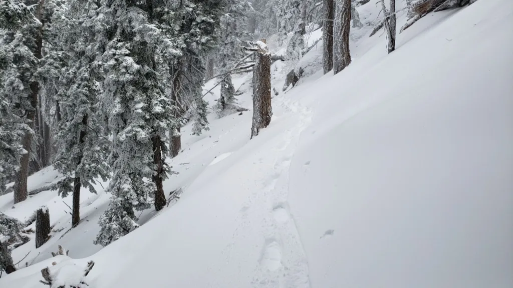
There is now a relatively reliable posthole track to follow on Fuller Ridge (Miles 185.5-191). Although it does not accurately the PCT route in several places, following the main track is the safest way to traverse these miles. Traversing this section is possible barebooting but spikes are recommended. Also useful are patience, cautious navigation, and an adequate comfort level with hiking on angled icy snow slopes. I thoroughly surveyed Fuller Ridge on the morning of Thursday 18th April and reported on conditions in a short video report available here on YouTube.
Hikers wanting to avoid Fuller Ridge until the snow conditions improve can use the Black Mountain Road alternate. Black Mountain Road is open to hikers but not to vehicle traffic at this time. Spikes are no longer required on the upper three miles of Black Mountain Road.
PCT hikers should not attempt to use South Ridge Trail from the PCT at Chinquapin Flat (roughly Mile 177.7) to Idyllwild via Tahquitz Peak, even though this looks temptingly simple on apps and maps. There are no steps to follow through a lengthy section of steeply angled (and notoriously treacherous) ice slopes (photo below). Crampons, always with an ice axe, and expert knowledge of how to use this equipment on high angle terrain, are critical. Even in below average snow years like 2024 these slopes always take many weeks longer to clear of ice than adjacent areas, and they will remain challenging into late April this year, possibly even May.
PCT hikers are politely reminded that overnight stays are not permitted at or near San Jacinto Peak, including in the historic shelter. Mt. San Jacinto State Park regulations do not permit overnight stays in the shelter, which is dedicated for emergency, SAR, and ranger use.

While all time and labor is volunteered, the San Jacinto Trail Report uses small private donations to help cover operating costs. Every year seems to have its unique challenges, and clearly 2024 will be no exception. Your contribution keeps the Report available to all, free from advertising or paywalls, and independent from agencies. If you have found this Report useful, please consider using this link to the Donate page. Thank you very much for your support.
SNOW DEPTHS measured on 27th (east slope trails) and 29th April 2024 (Deer Springs Trail) are as follows. The first number gives current average total depth, which also accounts for substantial melting between and since recent storms. The number in brackets is the greatest depth at that location this winter (where known). Note that averages are given; due to strong winds during and after most storms there has been considerable drifting, plus often very uneven melting during warm interludes. Altitudes and PCT mileages are approximate.
San Jacinto Peak (10810 ft): 28-32 inches [60 inches on 1st April]
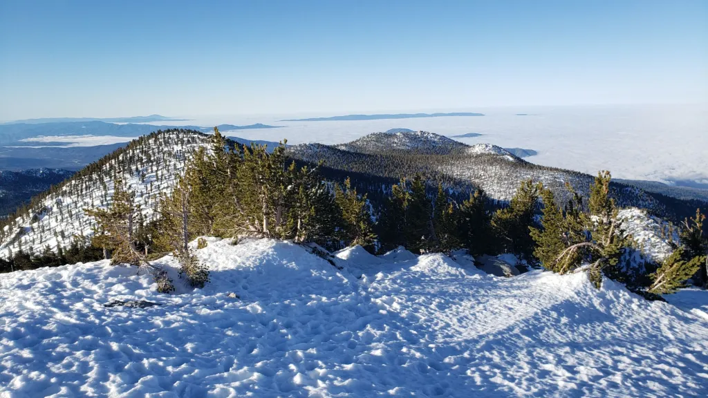
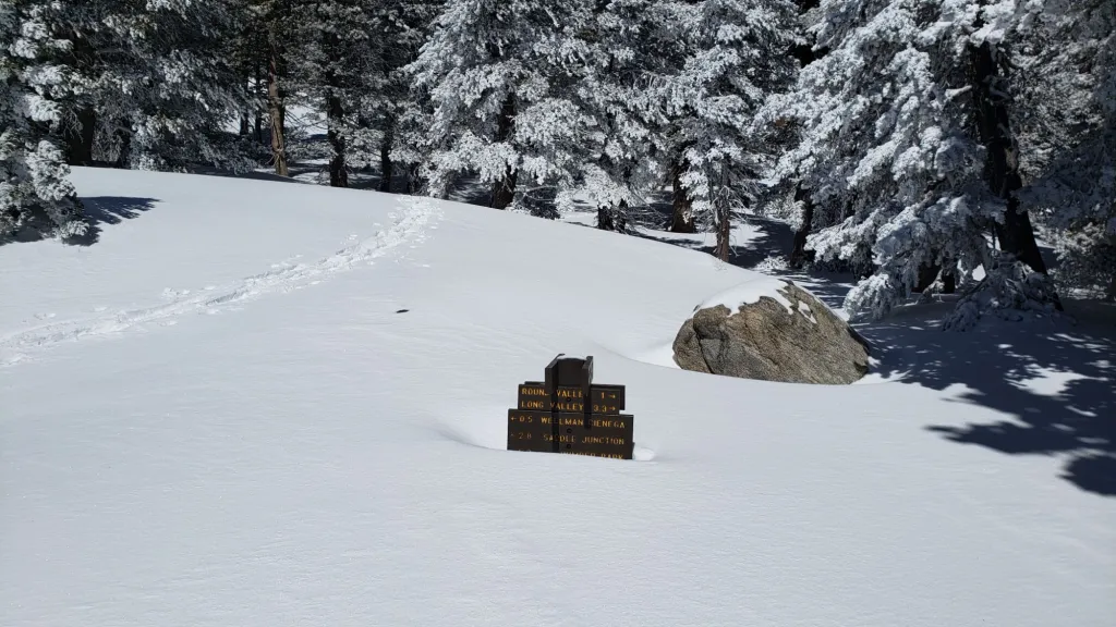
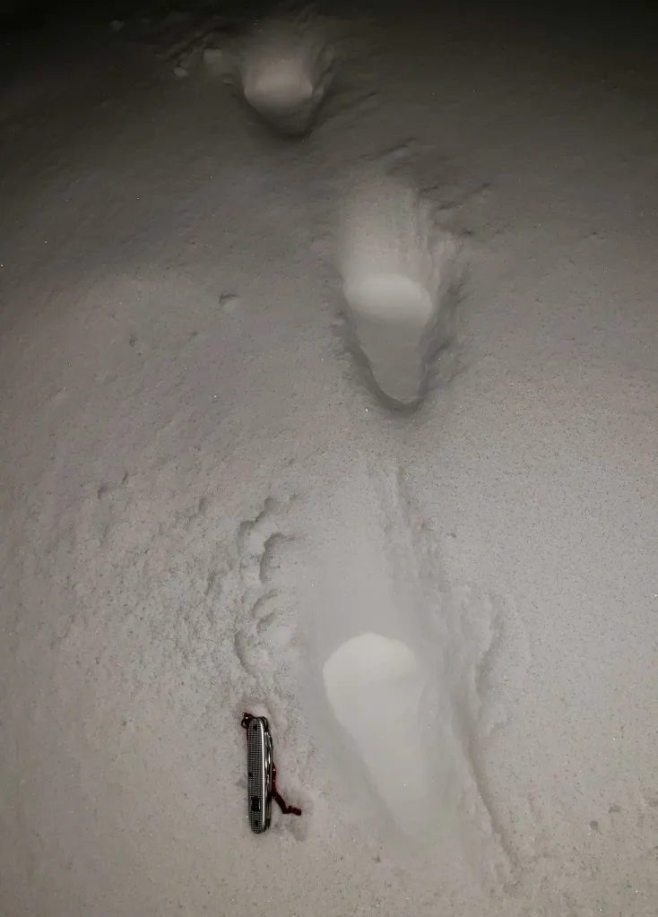
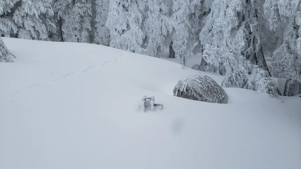
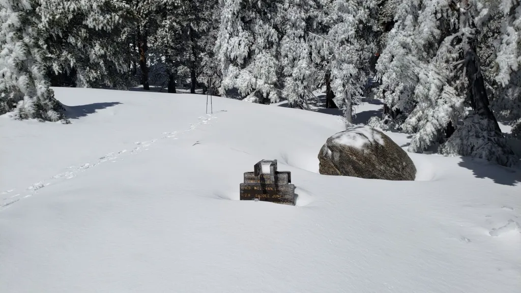
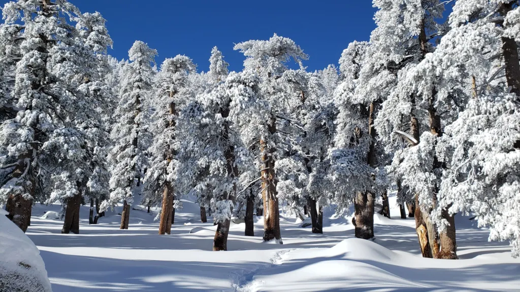
Little Round Valley (9800 ft): 28 inches, ranging from 0-50 inches, photo above
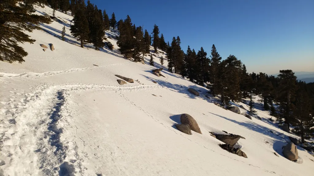
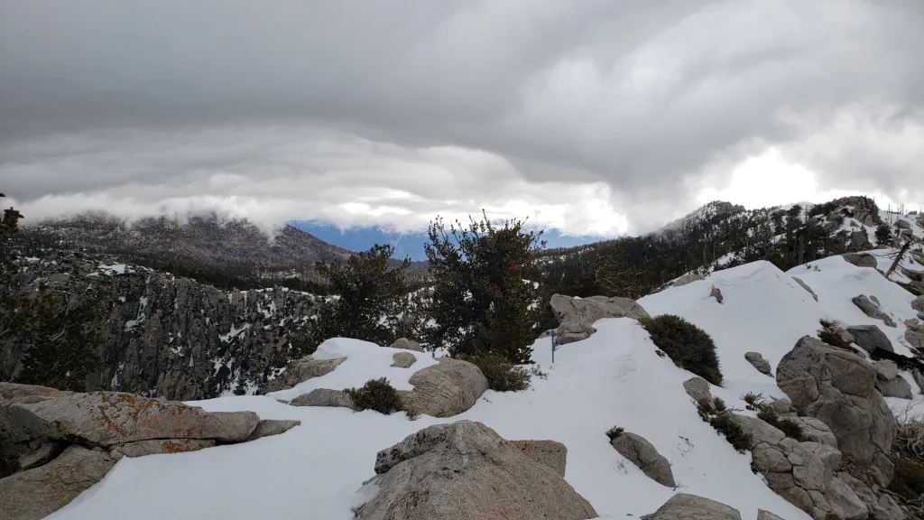
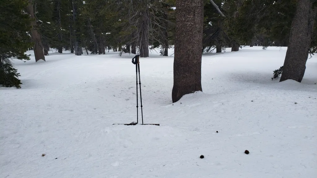
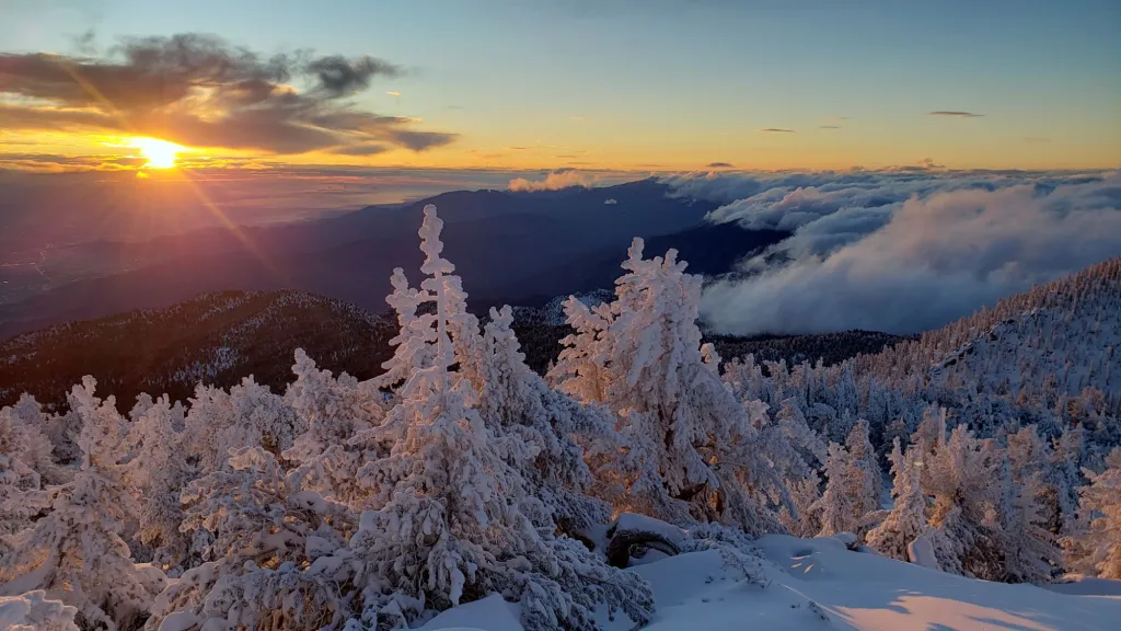
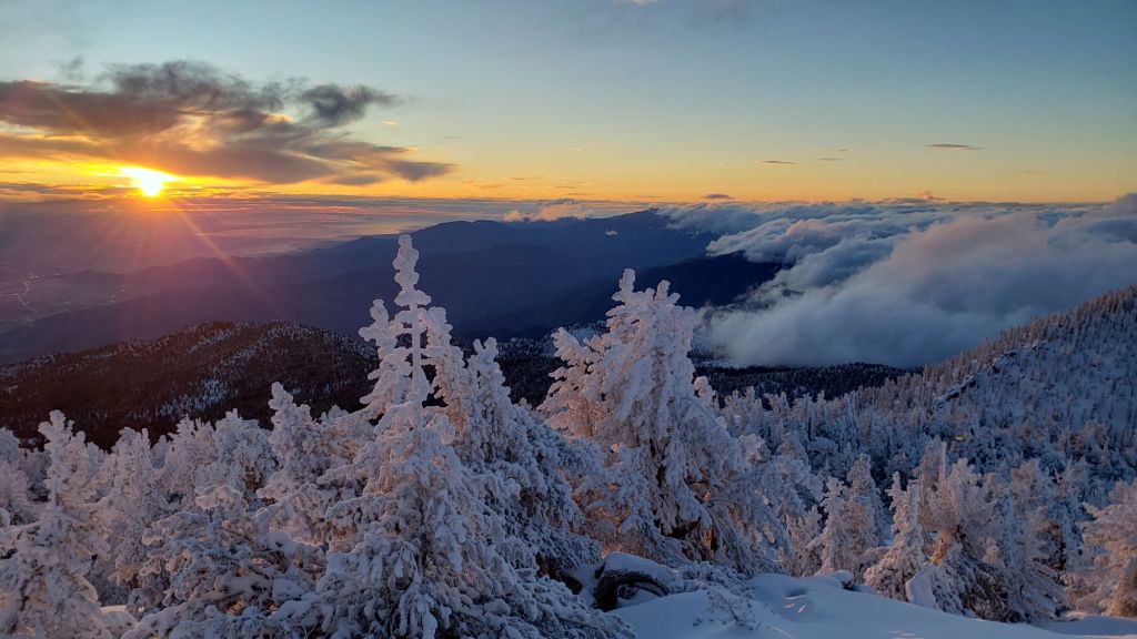
Wellman Divide (9700 ft): 6 inches, ranging from 0-20 [41-43 inches on 8th February] photos below
Annie’s Junction/approx. PCT Mile 181.8 (9070 ft): 25-35 inches [55 inches on 1st April]
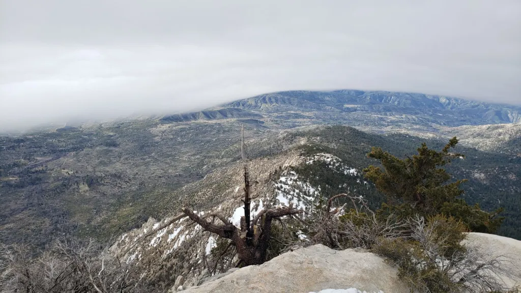
Seven Pines Trail junction with Deer Springs Trail/PCT Mile 184.9: 10 inches, photo below
Long Valley (8400 ft): 0 inch, a few limited snow patches persist [24 inches on 8th February]
Strawberry Junction/PCT Mile 183 (8100 ft): 0 inch
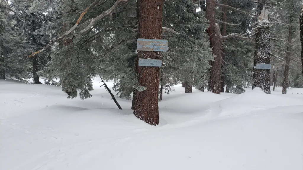
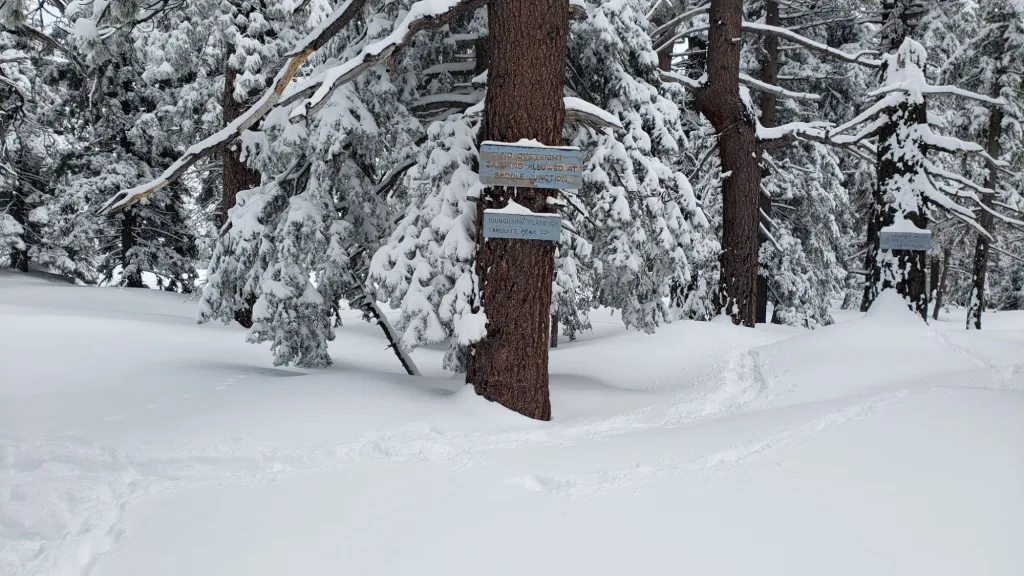
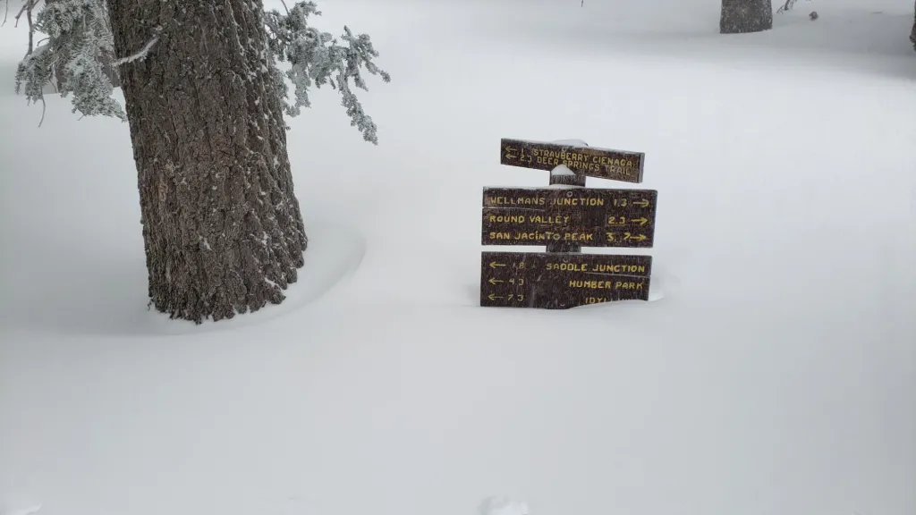
Saddle Junction/PCT Mile 179.9 (8070 ft): 6 inches, ranging from 0-18 [32 inches on 1st April]
Devil’s Slide Trail at Humber Park (6550 ft): 0 inch [15 inches on 8th February]
Idyllwild (at 5550 ft): 0 inch [9 inches on 8th February]